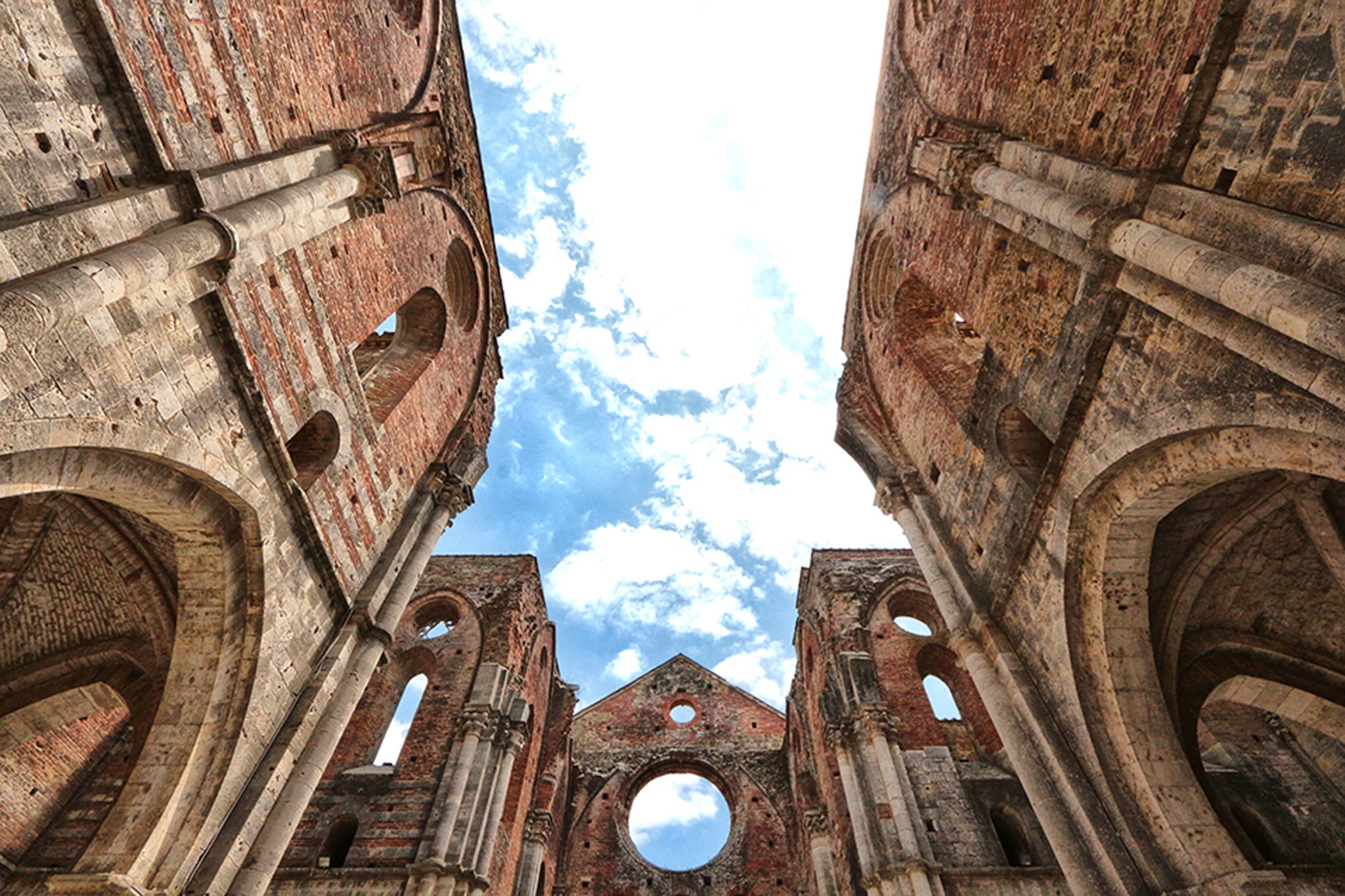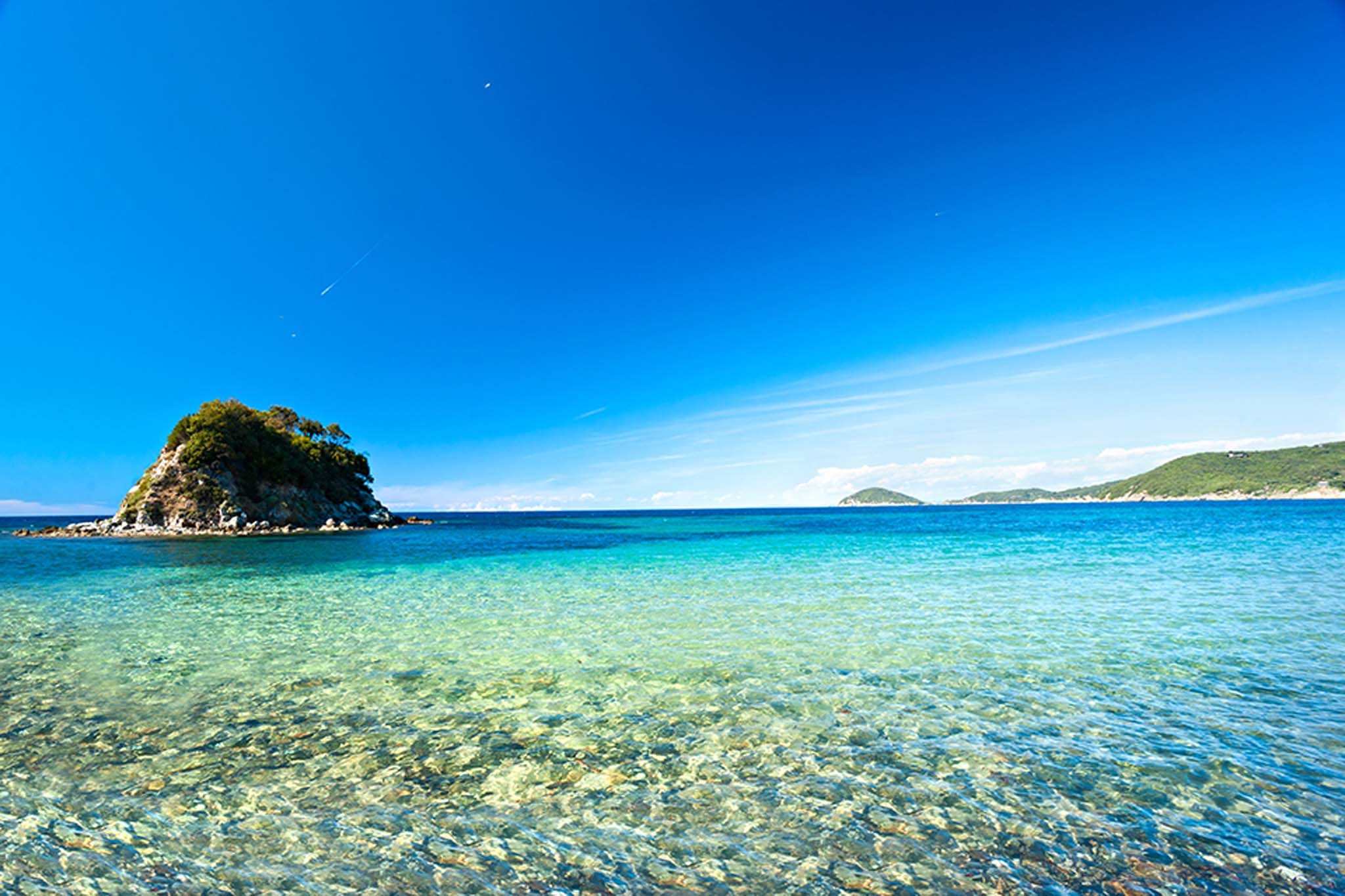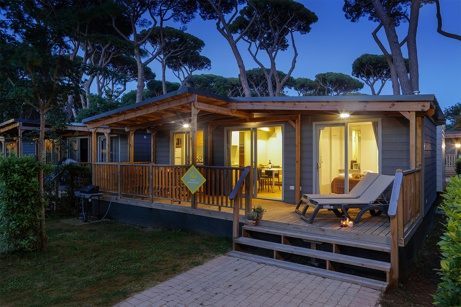
Costa degli Etruschi
Hiking and cycling are the perfect way to seek out vistas that almost always include sea, history and unspoilt nature along the Tyrrhenian coast and inland hills. The Val di Cornia and the Costa degli Etruschi (Etruscan Coast) offer trails suitable for all levels of experience and range from long, leisurely walks in pine forests to more challenging itineraries in the footsteps of the Etruscans, through one of the area’s many nature reserves.
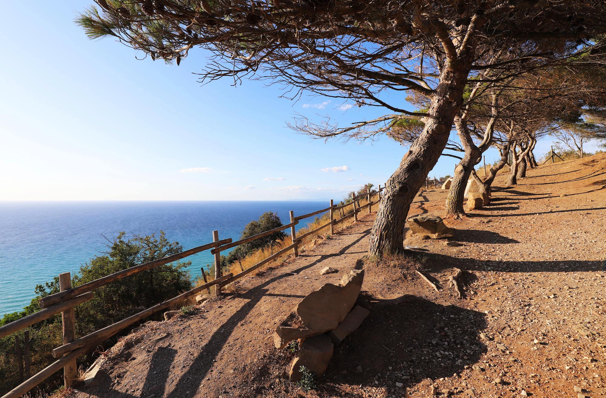
Park of Rimigliano
Cycling and walking routes shaded by the pine forest
A stone’s throw from the hu Park Albatros village you can access the cycle path that runs along Viale della Principessa. You are exactly halfway between San Vincenzo (to the north) and Baratti (to the south), and whichever direction you choose to go, it’s just a comfortable 6-km walk or cycle. You can also decide if you prefer to stay on the asphalt, or plunge into the Park of Rimigliano: a protected natural area, with flat, shady paths suitable for all ages.
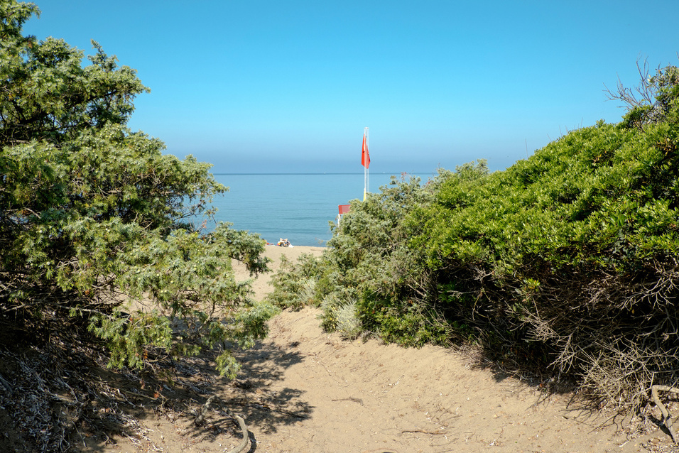
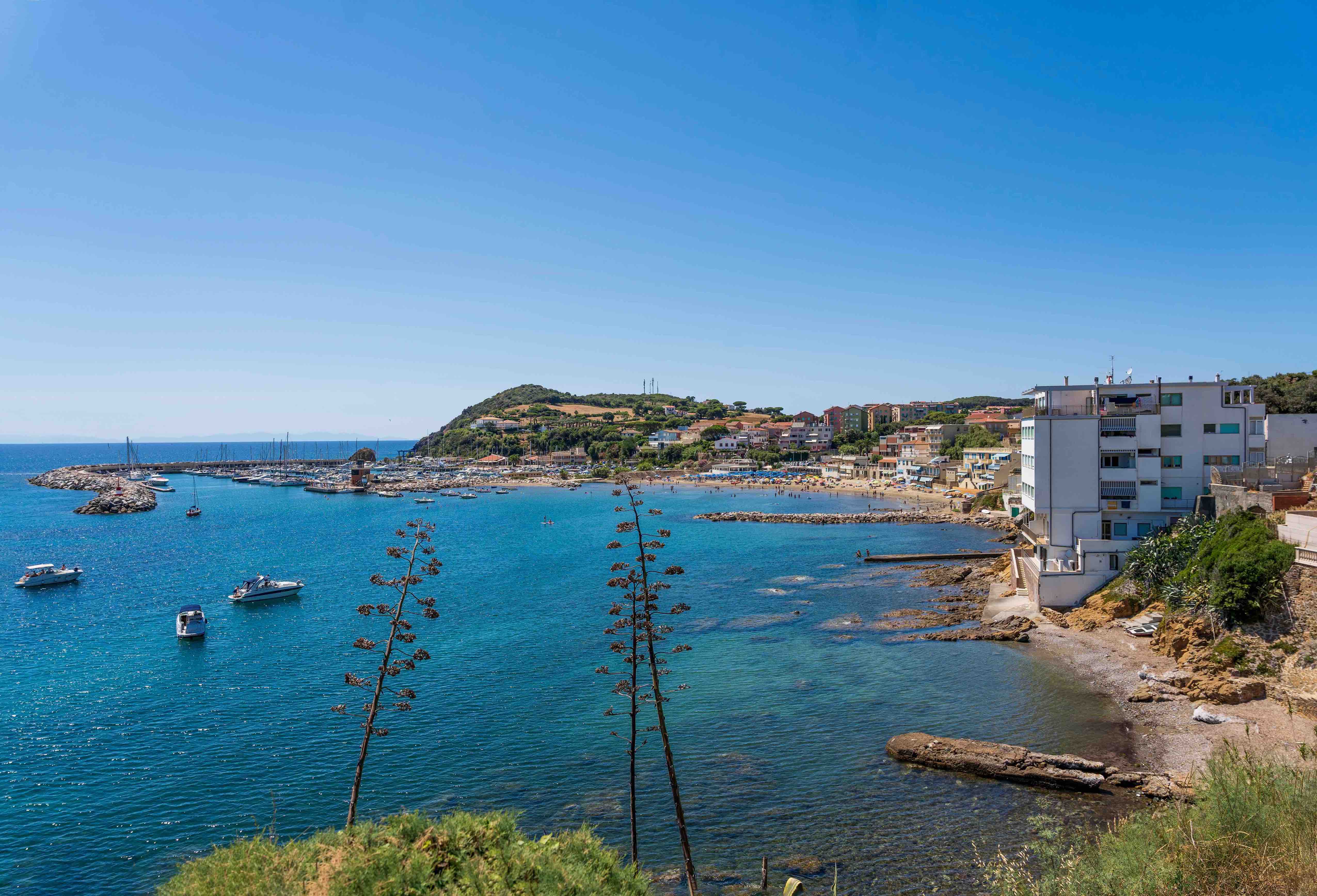
Golfo di Baratti
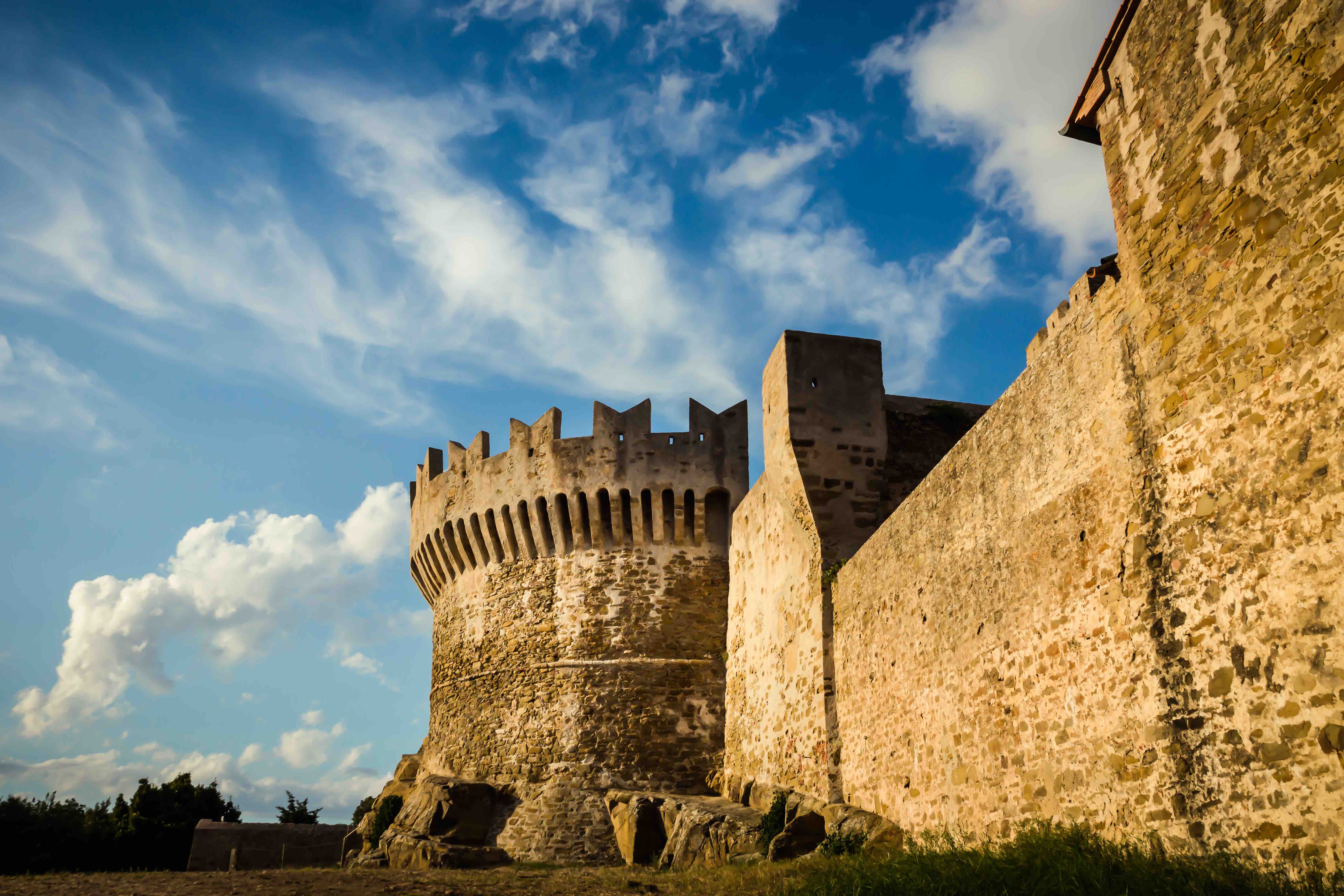
Hiking for history buffs in the Baratti and Populonia Archaeological Park
It’s worth putting time aside to explore the Archaeological Park of Baratti and Populonia. Dedicate at least half a day to what remains of the Etruscan city of Populonia, one of the most important in central Italy and the only Etruscan site overlooking the sea. The trails through the park are an ideal combination of nature and culture, passing archaeological sites of great interest and importance. The area includes hundreds of Etruscan tombs, quarries, remains of a mining district and the ruins of an acropolis at the highest point of the park, from where there is also a splendid view of the sea. The route begins at the necropolis of San Cerbone, near the ticket office. To then proceed along the Via delle Cave which leads to the awe-inspiring Necropolis of Caves, with tombs carved directly into the rock. The Via del Monastero brings you, after a steep climb, to the remains of the 11th-century Monastery of San Quirico. If you are more interested in the industrial district where the hematite ore mined on Elba was processed into iron ingots, follow the Via del Ferro. Otherwise, take the Via della Romanella to reach the acropolis. For an impressive view over the entire archaeological park and the sea, take the steep track that branches off halfway up the wide paved road: this will lead you to the top of the promontory, where the first Etruscan settlement was founded.
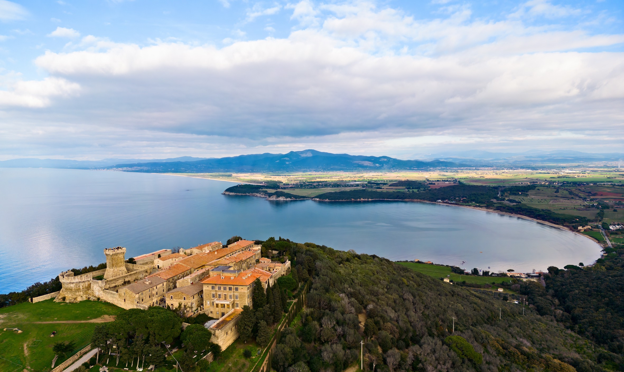
Buca delle fate
Discovering the Piombino promontory on the Via dei Cavalleggeri
On one side the Gulf of Baratti, on the other the town of Piombino, in the middle a promontory that conceals some of the most beautiful inlets on the coast and which is criss-crossed by public hiking routes that connect the ancient town of Populonia to the picturesque Calamoresca. The promontory of Piombino is a quiet coastal oasis with a wealth of biodiversity and history, and few visitors, but it was a well-known area to the ancients, starting with the Etruscans. Nowadays it is possible to cross it on the Via dei Cavalleggeri (route 302), a 10-km long footpath, an fairly straightforward up and downhill trail that skirts the promontory to overlook the sea, touching on picturesque coves such as the Buca delle Fate. Alternatively, the Via del Crinale (route 300) is, from start to finish, a trail dedicated to cyclists and hikers, it is 6.6-km long and a maximum of 270 m ASL in the central part of the route.
Marina di Salivoli Beach
Panoramic and ‘stellar’ view from Punta Falcone
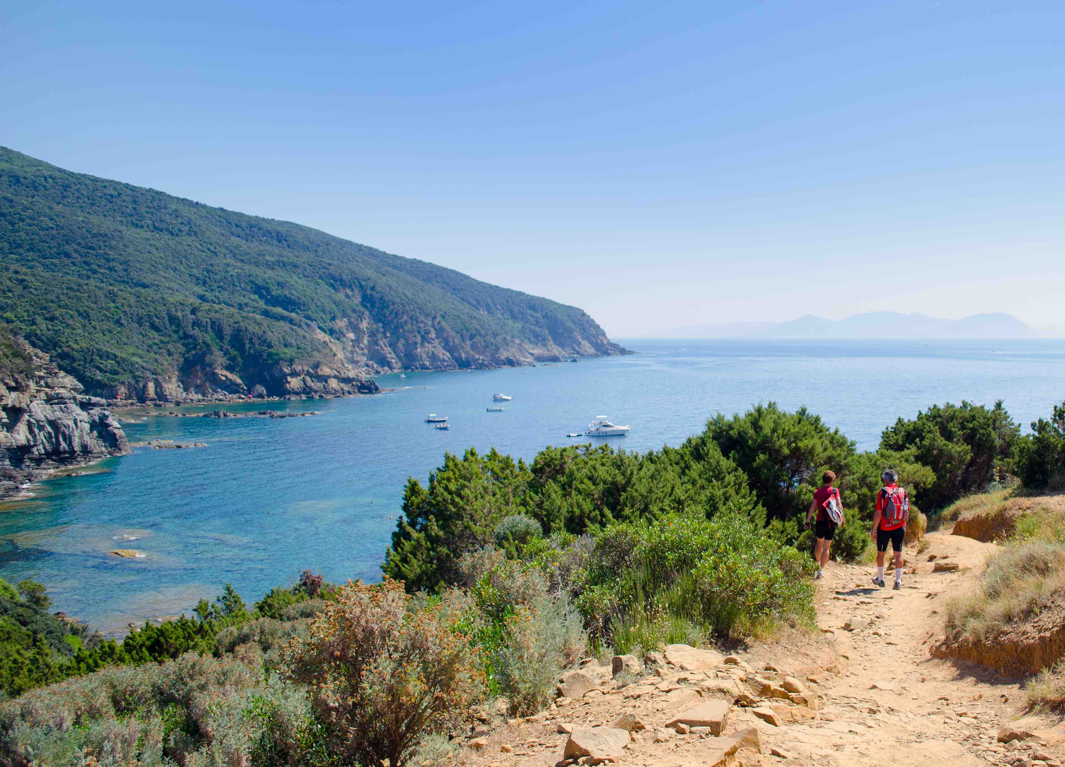
If you want to reach the tip of the Piombino promontory, continue from Marina di Salivoli to Punta Falcone: it is an easy hike suitable for anyone that allows you to enjoy some of the most spectacular views over the sea, particularly around sunset. Along the way, you’ll come across the Piombino astronomical observatory, which is open every Friday evening from June to September.
One of the many trails in Val di Cornia
The Monte Calvi trail: for seasoned hill climbers
For those who love a demanding hike, the Monte Calvi trail starts from San Vincenzo and, passing through the hamlet of San Carlo, rises along the western ridge of Monte Calvi, the highest mountain in the Val di Cornia (646 m ASL). From its heights there’s a panoramic view of the entire coastline, from Livorno to Piombino. The route is approximately 10-km long and punctuated by several chasms (signposted and fenced), known here as ‘Buche’ (holes), such as Buca del Serpente (Snake Hole) and Buca del Grillo (Cricket Hole). Furthermore, if you’re lucky you will spot a rare flower: the Monte Calvi wild orchid.
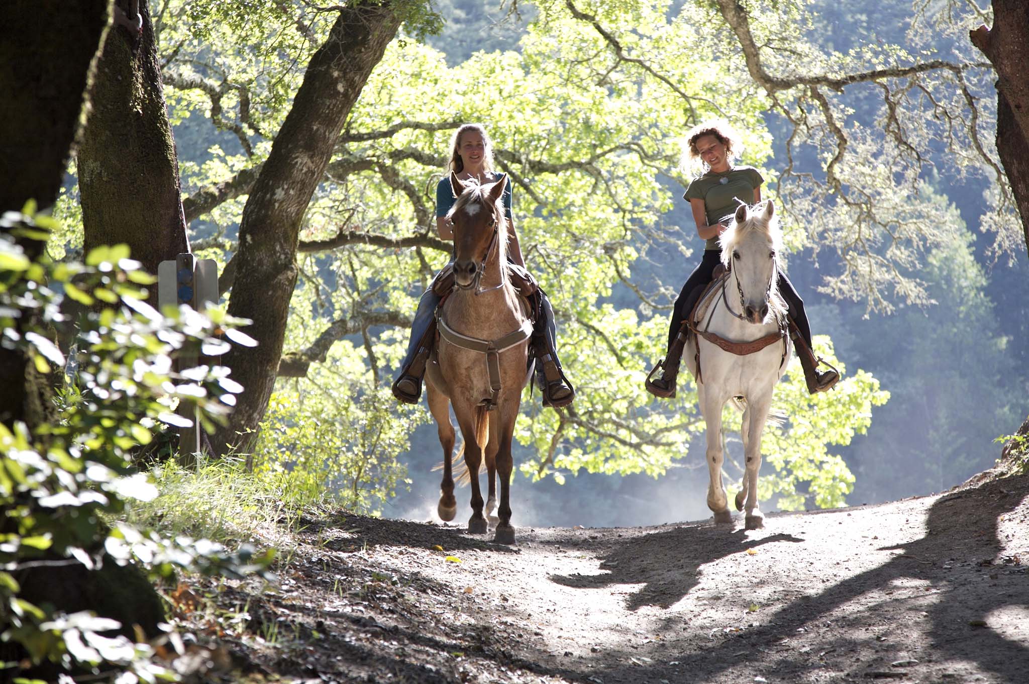
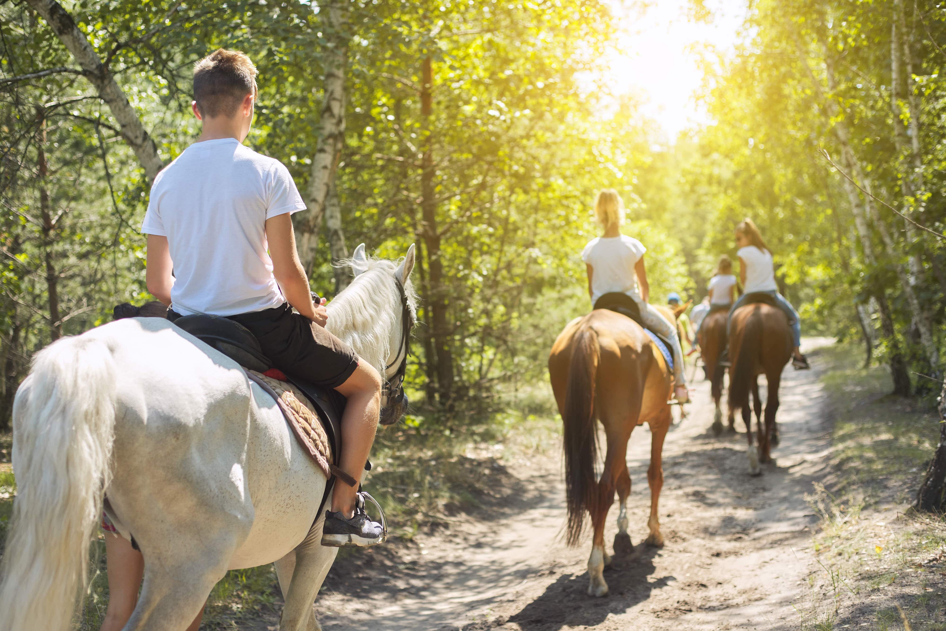
Horse riding
Horseback riding or mountain biking in the Poggio Neri Forest Park
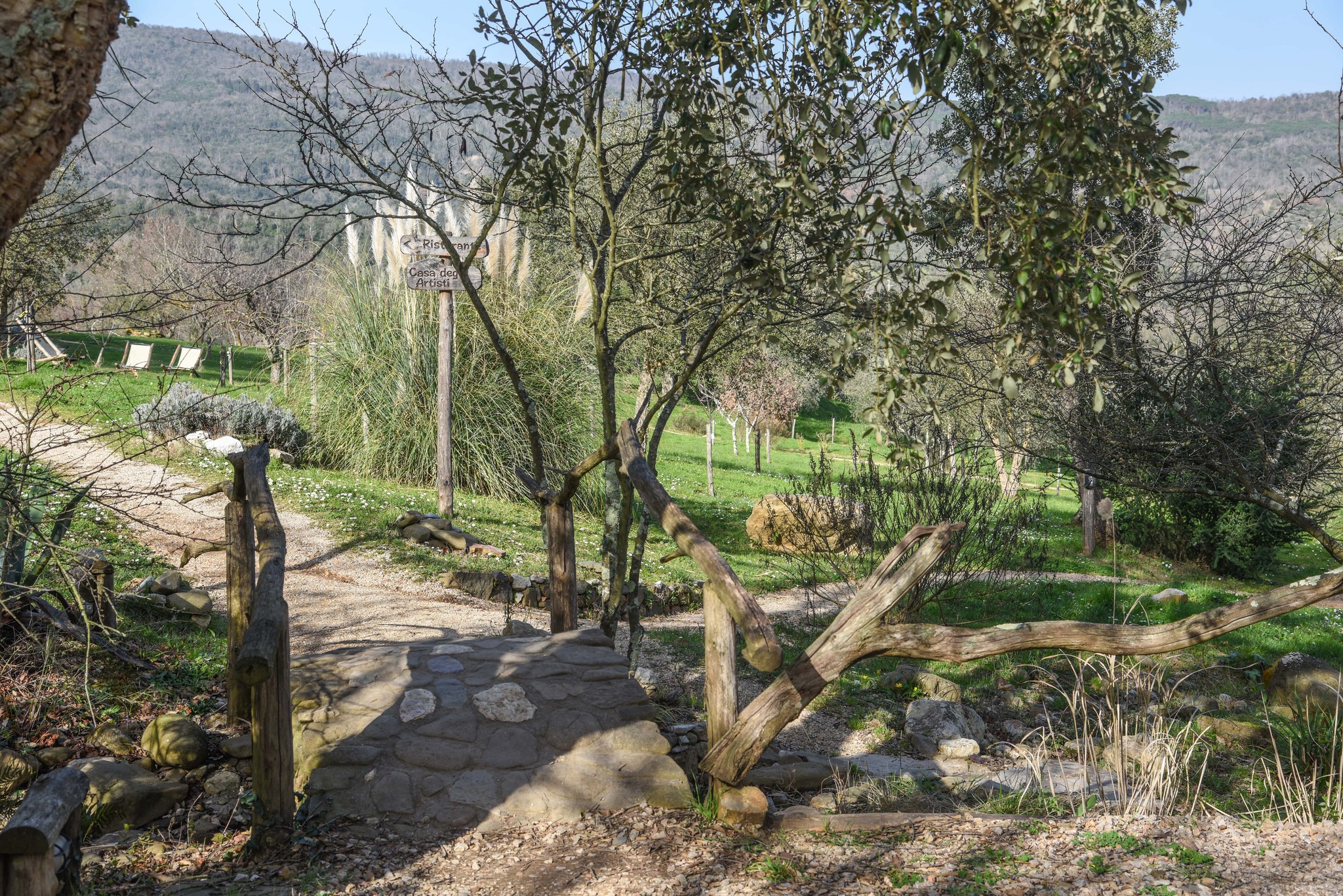
Lastly, if you want to delve into an unspoilt nature, go to Sassetta, a village consisting of a handful of houses clinging to a rocky spur entirely surrounded by the Poggio Neri Forest Park. Within the park, there are more than 37 km of well-maintained trails (also suitable for people with disabilities) for walking, hiking, horse riding and cycling. This is also where you’ll find the Museum of the Forest: an open-air exhibition of forest-related life and trades.